I lead product build-out and operationalize the teams behind open source projects and communities building geospatial knowledge infrastructure (GKI).
I've helped lead multiple projects from idea to production deployments and through long term support and enhancement life cycles. I set technical and design requirements, coordinate the team's implementation, validate product before it ships, and shape the specifications with the customers and community who use them.
At TerraFrame this has involved novel sollutions focused on GeoAI, semantic technology, systems for building and utilizing spatial knowledge graphs, UAV data workflow automation, and more.
Much of that has meant leading product for technology without a playbook
I'm as comfortable leading a sales call as reviewing a feature build, and I'm often the person customers call because I understand both their problem and the product.
Because I love supporting my community, I founded West Slope Technologists, a rural tech community in Colorado that grew to nearly 300 people and is till active today. See more about my community efforts here.
What I do at TerraFrame
TerraFrame is unique by focusing on building open source solutions for impact through close customer collaboration. My title only tells part of the story. I've worn most of the hats a small company has, from writing code to selling it. These are the ones I wear most.
Standards and community. I lead community efforts to collaborate on the standards and technology we build. This includes community meetings, roadmap development, work prioritization, transparent work streams, support systems, and more.
Product and delivery. I work with the team to establish technical and design requirements, coordinate implementation, and validate the product before it ships.
Vision and advocacy. I work with the CEO to define the company’s vision and advocate for that vision by helping to lead sales calls, giving talks, and shaping our marketing efforts.
Team operations. I set up how our team works day to day: project management, sprint planning, customer and user support, and the tools and workflows we use for internal and customer projects.
What we're building
Geoprism Registry
Authoritative geographic data, tracked over time.
An open-source platform for managing what exists, where it is, how it's organized, and how that has changed. It maintains the shared location data that other systems depend on.
Kaleidoscope
GeoAI grounded in spatial knowledge graphs.
Instead of retrieving loose text chunks, Kaleidoscope uses spatial knowledge graphs from Geoprism Registry to ground AI answers in connected, traceable data. We call this approach Geo-Graph RAG.
Imagery Data Manager (IDM)
One place to store, process, and share drone imagery.
An open-source, cloud-based application built for the U.S. Department of the Interior. It processes drone imagery and lidar into orthomosaics, terrain models, and point clouds, connects everything by location and time, and publishes products through open standards like STAC.
Geoprism
A toolkit for knowledge graph based systems.
An integrated platform for data management and visualization that runs on TerraFrame's open source RunwaySDK. It's the foundational toolkit that Geoprism Registry is built on.
Much of this work is part of the U.S. Army Corps of Engineers' Geospatial Knowledge Infrastructure effort, which USACE funds and TerraFrame leads as developer. Earlier, I helped build TerraFrame's RunwaySDK framework, and the Common Geo-Registry work for the Digital Solutions for Malaria Elimination partnership.
My favorite talks & writing
- 2026 Cloud Native Efficiency | STAC-Driven Discovery: What Government Teams Are Asking For
- 2023 Enabling Knowledge Sharing by Managing Dependencies and Interoperability Between Interlinked Spatial Knowledge Graphs
- 2019 Aspen Ideas Festival Fellow
- 2019 Give Your Software Away: Building Healthcare Tech Systems with a Global Reach & Local Impact
- 2017 Rethinking the Data Pipeline for Better Integration and Collaboration
- 2015 Turning Data into Information with Geo-Ontologies
- 2013 A Model for Open Data in Colorado
Community
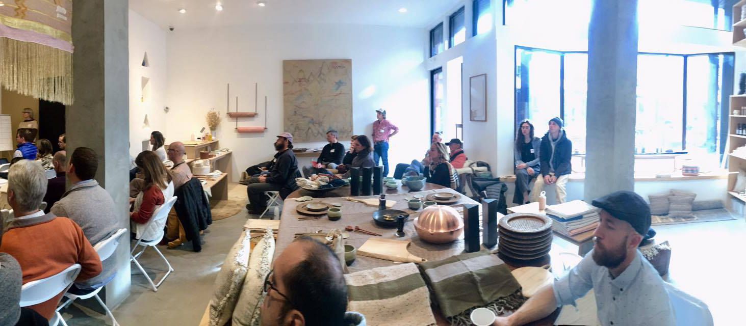
When I moved to Marble in 2017, I started a small group to find the other technologists in the mountains. It grew into West Slope Technologists, a community of nearly 300 people across rural western and southern Colorado, and into a broader effort to build a tech ecosystem outside the Front Range alongside the region's startup organizers, rural-focused investors, and coworking spaces.
Along the way I organized the Rural Tech Retreat, a semi-off-grid conference in Marble. Starting in 2021, I captained the Technology Track at West Slope Startup Week, and I serve as a strategic advisor to CoVenture in Carbondale.
Off the clock
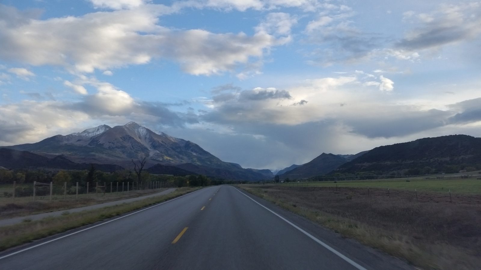
Outside of work I'm usually climbing, in the mountains, on a beach, or sailing.